Video & Photography With A Purpose
Services includes:
Land Trust & Conservation Videos — Showcasing protected properties, conservation projects, public lands, trails, farms, waterways, and the people responsible for protecting them.
About & Mission Videos — Helping organizations explain who they are, what they do, and why their work matters.
Interviews & Testimonials — Conducting professional interviews with staff, community members, landowners, elected officials, volunteers, and project partners to bring authenticity to each story.
Public Service Announcements — Producing concise, informative videos that help government agencies and nonprofit organizations communicate important programs, services, and initiatives.
Funding & Grant Videos — Creating videos designed to demonstrate community impact, document completed projects, communicate future needs, and strengthen presentations to potential funders and decision-makers.
Professional Photography — Providing high-quality photography for websites, annual reports, grant materials, social media, public outreach, and organizational communications.
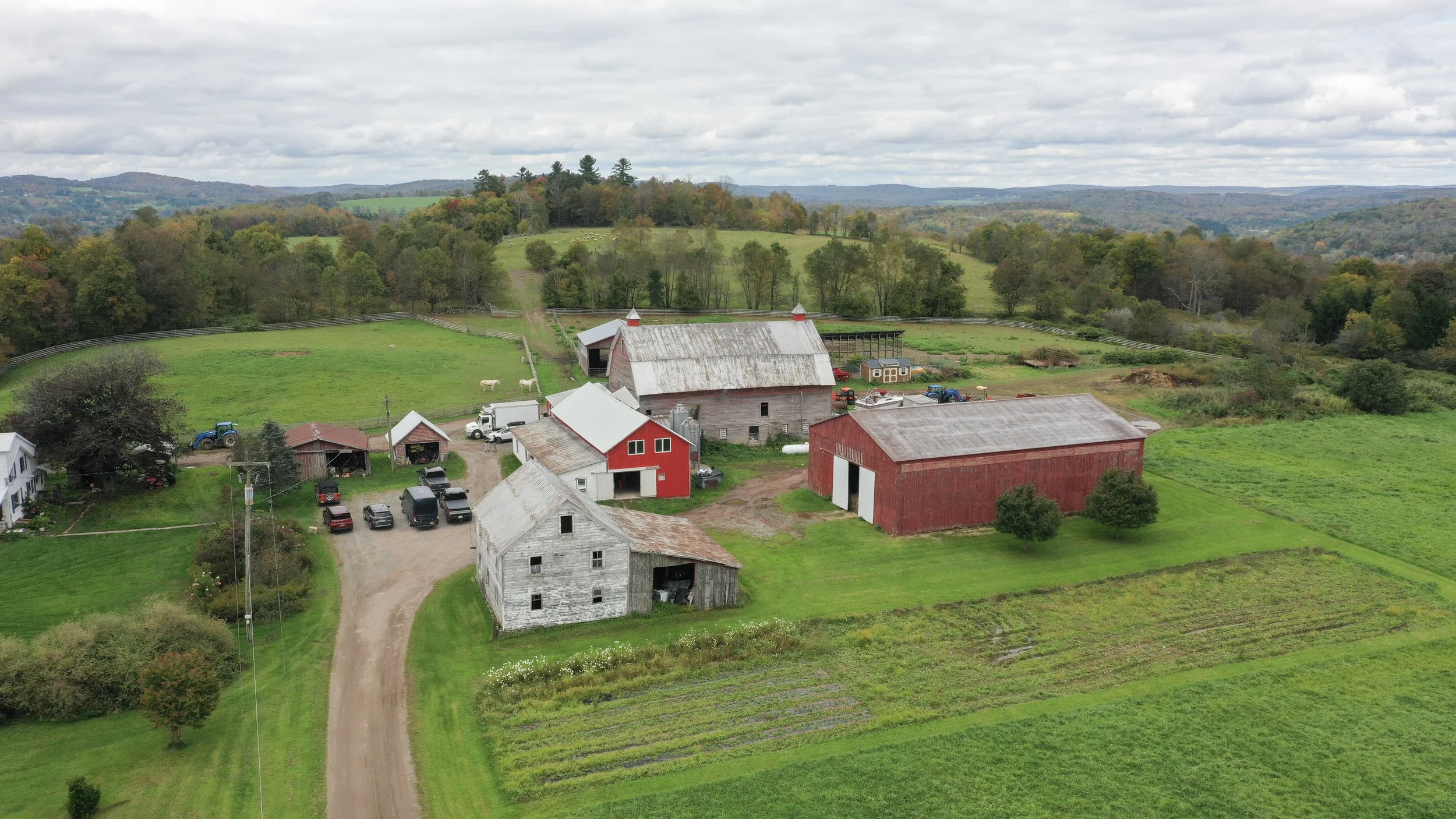
Aerial Photography & Videography — As a licensed drone operator, Robert captures aerial perspectives that are particularly valuable for documenting conserved properties, landscapes, infrastructure, community projects, and large-scale environmental initiatives.
Special Pricing for combined services taylored to your needs. Inquire about a project for a quote.
Impact Statement Videos
About Video’s includes interview, drone video, and ground video. Pricing is calculated on the scope and length of the project and video.
Seminar & Fundraising Events
Seminars, Fundraising Events, Galas, Public Service Announcements and Still Photography
Aerial /Drone Video & Photography
Fully Licensed Part 107 Remote Airman/ Commercial Drone License. Aerial Land Monitoring